barf
Member
Summit Road, Christchurch, New Zealand
About
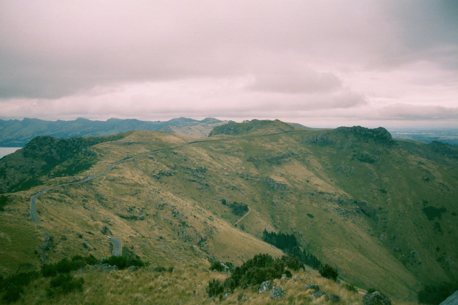
Summit Road is listed as one of the world's most dangerous roads. It is a narrow, winding road which follows the crater rim of a giant, extinct volcano in Christchurch, New Zealand.
Due to rockfall damage from earthquakes and the risk of further rockfall in aftershocks, sections of the Summit Road were closed.
Development
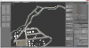
This is my first AC track and is currently under development. Tasks and issues are being tracked on GitLab. To report a bug please sign up on GitLab and attach a screenshot to a new issue.
The terrain is a 1-meter LiDAR digital elevation model (DEM) from Land Information New Zealand (LINZ), with a vertical accuracy specification of +/- 0.20m (95% confidence). Horizontal accuracy is +/- 1.00m (95% confidence). The final spatial accuracy is approximately ±2m @ 90% in clear open spaces.
The scene is geo-referenced using the NZ Transverse Mercator projection (EPSG:2193). Distant terrain is formed from the Japan Aerospace Exploration Agency's (JAXA) ALOS AW3D30 DSM, which has a 30m horizontal resolution.
1.2m/pixel orthophotos from LINZ were pulled via WMTS in QGIS for the terrain texturing. The overall scene size is approximately 35x40km.
Screenshots


Video
Support
This track is free but if you are comfortable donating a coffee or beer, any support is appreciated!
Paypal

Licence
This track is free, but please do not modify, disassemble or redistribute it without permission of the author.
The LiDAR DEM and aerial imagery is sourced from the LINZ Data Service and licensed by Environment Canterbury Regional Council, for re-use under the Creative Commons Attribution 4.0 International licence.
The ALOS AW3D30 DSM is Copyrighted by the Japan Aerospace Exploration Agency (©JAXA).
Download
The track is currently under development, however test releases are public and feedback is welcome! The latest test release can be found on the project Discord:
https://discord.gg/j3ND23w
About
Summit Road is listed as one of the world's most dangerous roads. It is a narrow, winding road which follows the crater rim of a giant, extinct volcano in Christchurch, New Zealand.
Due to rockfall damage from earthquakes and the risk of further rockfall in aftershocks, sections of the Summit Road were closed.
Development
This is my first AC track and is currently under development. Tasks and issues are being tracked on GitLab. To report a bug please sign up on GitLab and attach a screenshot to a new issue.
The terrain is a 1-meter LiDAR digital elevation model (DEM) from Land Information New Zealand (LINZ), with a vertical accuracy specification of +/- 0.20m (95% confidence). Horizontal accuracy is +/- 1.00m (95% confidence). The final spatial accuracy is approximately ±2m @ 90% in clear open spaces.
The scene is geo-referenced using the NZ Transverse Mercator projection (EPSG:2193). Distant terrain is formed from the Japan Aerospace Exploration Agency's (JAXA) ALOS AW3D30 DSM, which has a 30m horizontal resolution.
1.2m/pixel orthophotos from LINZ were pulled via WMTS in QGIS for the terrain texturing. The overall scene size is approximately 35x40km.
Screenshots
Video
Support
This track is free but if you are comfortable donating a coffee or beer, any support is appreciated!
Paypal
Licence
This track is free, but please do not modify, disassemble or redistribute it without permission of the author.
The LiDAR DEM and aerial imagery is sourced from the LINZ Data Service and licensed by Environment Canterbury Regional Council, for re-use under the Creative Commons Attribution 4.0 International licence.
The ALOS AW3D30 DSM is Copyrighted by the Japan Aerospace Exploration Agency (©JAXA).
Download
The track is currently under development, however test releases are public and feedback is welcome! The latest test release can be found on the project Discord:
https://discord.gg/j3ND23w
Last edited:
")